


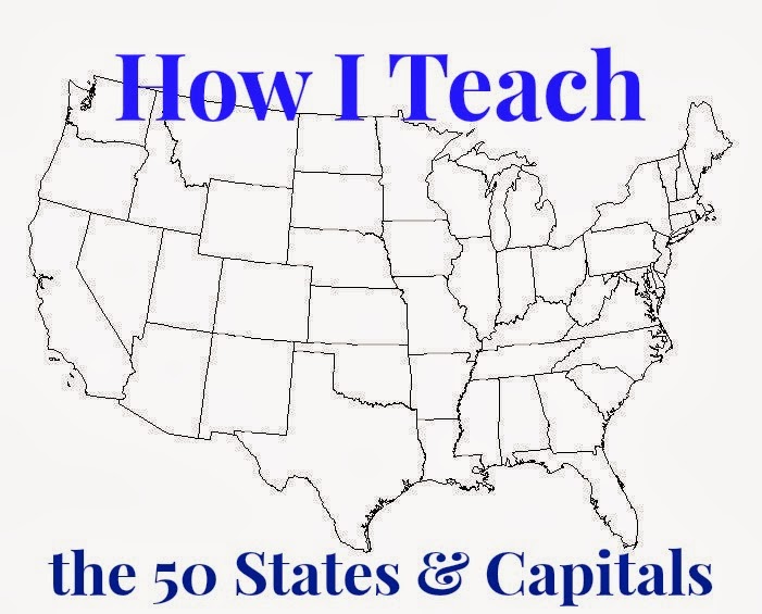
One major item I'm working on this semester with Kathryn is the location of all the US states on the map, and all of their capital cities' names. I don't have a curriculum for this. I'm using a bunch of varied materials to help teach this lesson. Here's what we're using.
50States.com is a great, free resource with tons of information for learning the 50 states and capitals. You can print blank outline maps here. This worksheet is a good printable for a quiz. And here you can find all 50 official state songs.
Worksheet Works has another 50 states & capitals quiz (for free).
Postcards from North America is a fun boardgame that sends you around the United States to collect capital cities and landmarks. It teaches familiarization with US geography and offers capital city exposure. Plus, it's fun to play. And fun wins every time.
States and Capitals Flash Cards (this link will take you directly to the set we actually use). These are great for busy days, carschooling, and cuddling on the couch school days. You get to see the outline of the state and the location of the capital cities.
US Map Tutorial by Sheppard Software teaches the location of each state in an interactive manner. Sheppard Software is free! Free is good!
US Map Jigsaw Puzzle by Sheppard Software is an online map puzzle. You drag the state shapes to their place on the map, then the site labels the state's name.
If you like to cook together, this site has recipes from the 50 states that you can prepare together to tie several subjects in.
For kids who enjoy coloring, Crayola has a coloring page for every state.
And this has to be my favorite states and capitals resource by far...


Keine Kommentare:
Kommentar veröffentlichen